Kai Washington · 14 September 2026
19th Century Land Records Offer Fresh Insights for Torvia's Coastal Erosion Planning Efforts
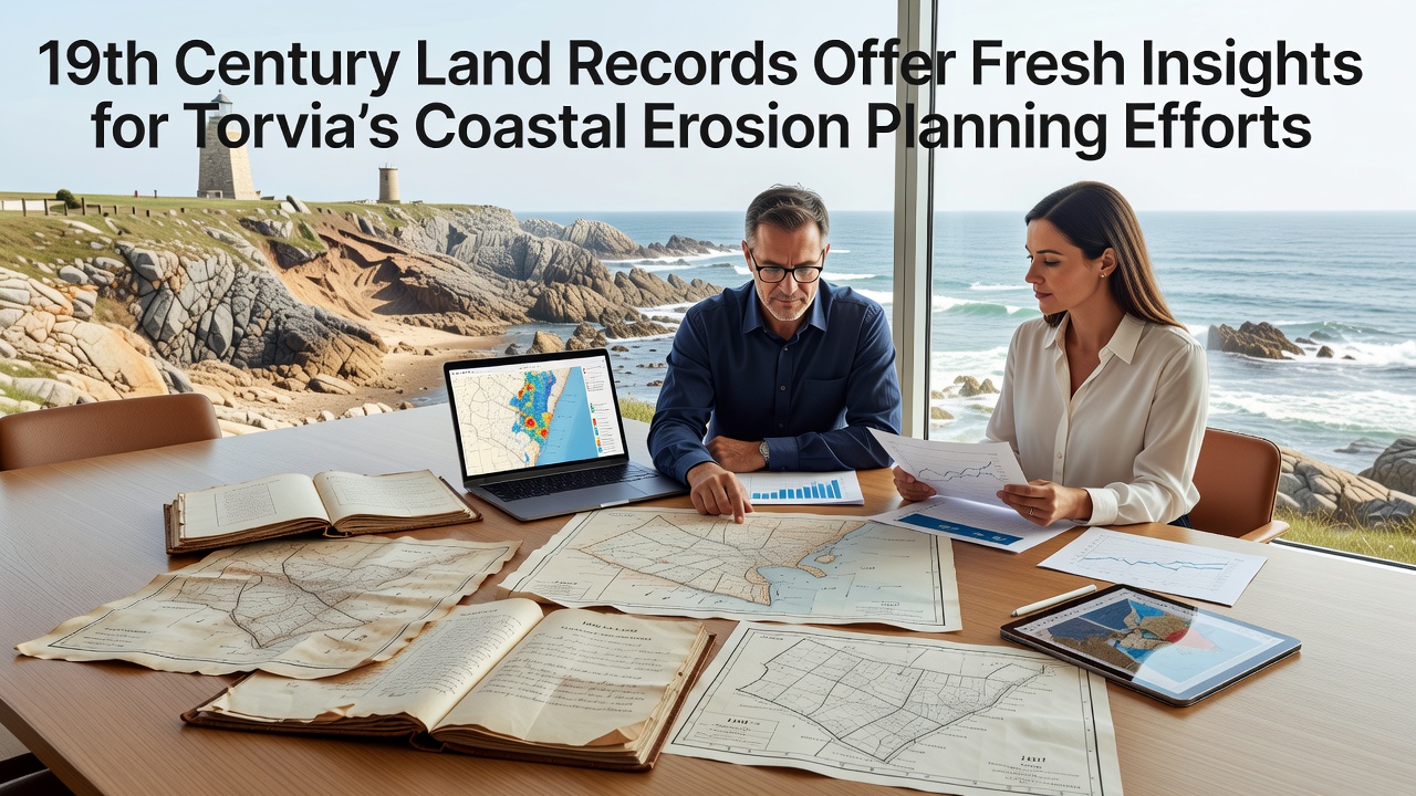
Historical land records from the 19th century have begun supplying Torvia planners with detailed baseline data on shoreline positions and property boundaries that predate modern surveying techniques. These documents include cadastral maps, estate deeds, and tax assessments that chart how coastal parcels changed hands and how their dimensions shifted over decades of tidal action and sediment movement. Researchers at the Torvia Coastal Archive have cross-referenced these entries with contemporary satellite imagery to calculate average annual erosion rates along several stretches of the coastline that reach back more than 150 years.
Mapping Past Shorelines to Inform Current Strategies
Planners have discovered that many 19th-century maps record precise measurements of cliff edges and beach widths using chain surveys and triangulation points that remain identifiable today. One study released in early 2025 matched an 1847 estate plan of the northern Torvia littoral with present-day GPS coordinates and found that certain headlands have retreated between 12 and 18 meters since the records were created. This long-term perspective allows engineers to distinguish between short-term storm impacts and persistent erosional trends when they model future scenarios for sea-level rise.
Local authorities have incorporated these findings into updated risk assessments scheduled for release in September 2026. The assessments integrate the archival data with hydrodynamic models supplied by the European Environment Agency to refine setback distances for new construction and to prioritize reinforcement projects along the most vulnerable segments. Officials note that the 19th-century documents also reveal former wetland areas now buried under urban fill, information that helps identify sites where managed realignment could restore natural buffers.
Linking Property Records with Sediment Transport Patterns
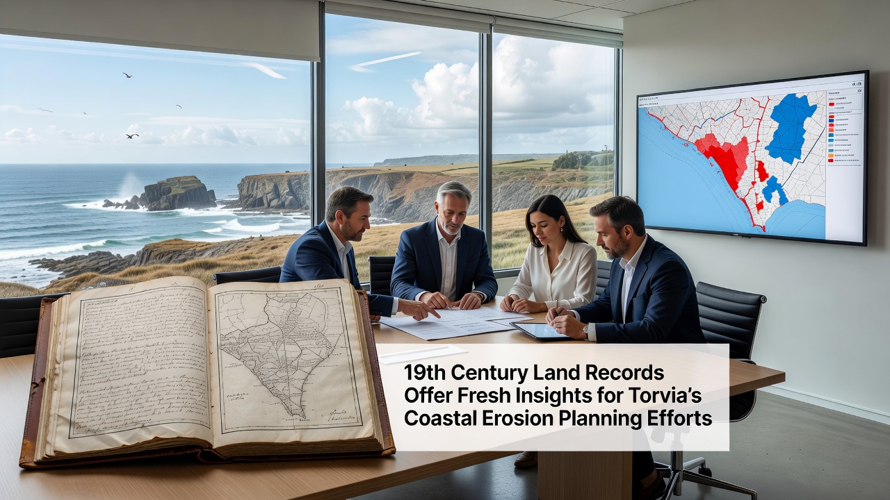
Deeds and transfer ledgers from the same period frequently list boundary markers that have since disappeared beneath the waves. When these markers are located on the ground or reconstructed from descriptions, they provide fixed reference points for measuring cumulative land loss. A team from the University of Torvia's Geography Department has compiled a database of more than 400 such markers and paired them with sediment core samples to trace how longshore drift has redistributed material over the intervening generations. The resulting maps highlight zones where accretion once offset erosion but where sediment supply has now diminished.
Funding for digitization of the remaining paper records comes partly from a European Union grant administered through the Interreg program, which supports cross-border cooperation on coastal management between Torvia and neighboring regions. Project coordinators report that optical character recognition combined with manual verification has already converted 78 percent of the surviving ledgers into searchable geospatial layers. These layers feed directly into the national coastal observatory portal maintained by the Torvia Ministry of Environment.
Integration with Modern Monitoring Networks
Contemporary lidar surveys and drone photogrammetry supply high-resolution elevation models that complement the historical snapshots. When planners overlay the 19th-century boundaries on these models, they can quantify volume changes in beach and dune systems rather than relying solely on linear shoreline measurements. Data shared with the U.S. Geological Survey's coastal hazards program has allowed Torvia analysts to benchmark their local rates against similar geologic settings on the Atlantic seaboard, revealing comparable long-term trends despite differences in tidal regime.
Community workshops held throughout 2025 introduced residents to interactive maps that display both the archival shorelines and projected positions for 2050 and 2100 under various emissions pathways. Feedback from these sessions has shaped the final criteria used to rank adaptation options, including the relocation of several historic structures that now sit within the calculated erosion envelope.
Conclusion
The synthesis of 19th-century land records with present-day geospatial tools has expanded the temporal depth of Torvia's coastal erosion planning database. Planners continue to refine their models as additional documents undergo digitization and as new field measurements become available. The approach demonstrates how archival evidence, when systematically integrated with current monitoring, supports evidence-based decisions that extend across multiple planning cycles.